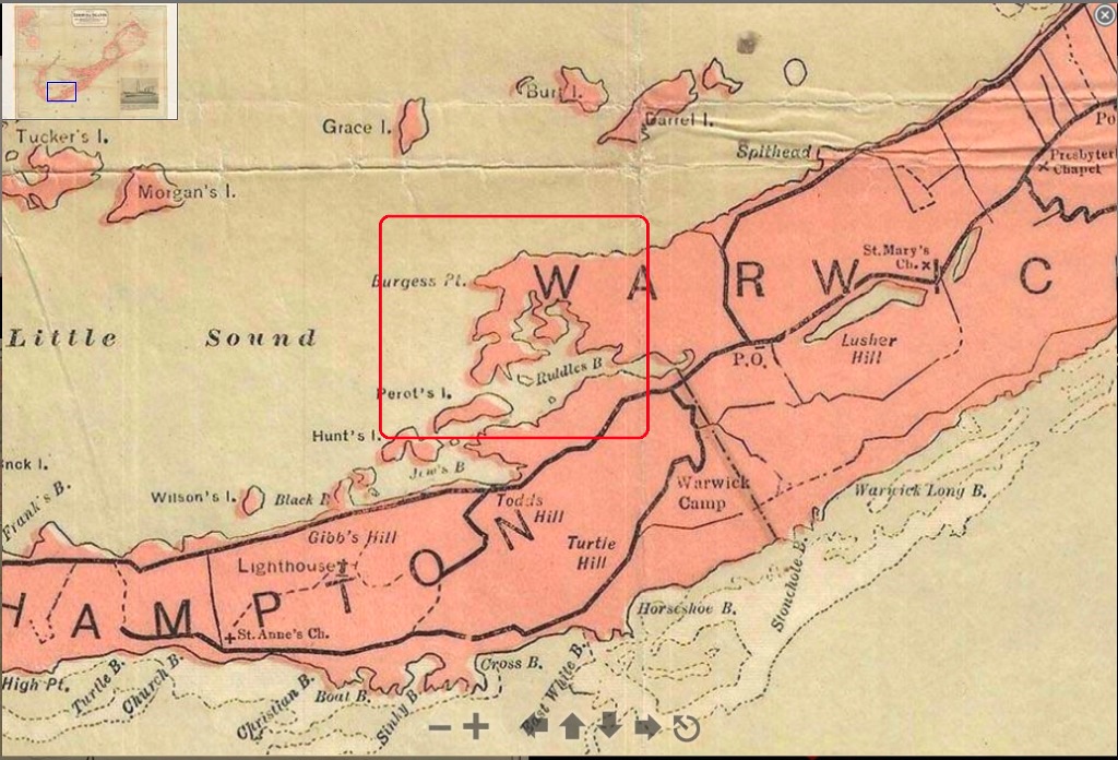
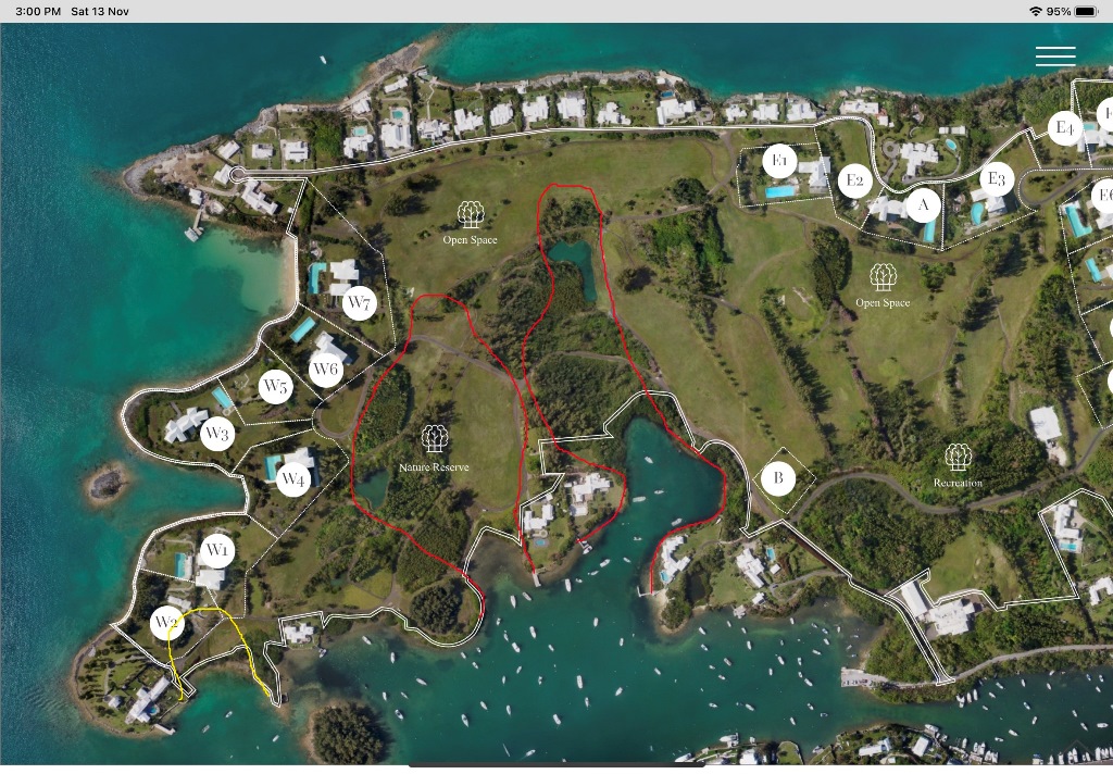
The final map is from Daniel's plan so you can see our lots and images of the houses that might be built. I have marked on that plan in red where I think the 2 inlets might have been originally located. It suggests our lots should just be outside the reclamation area.
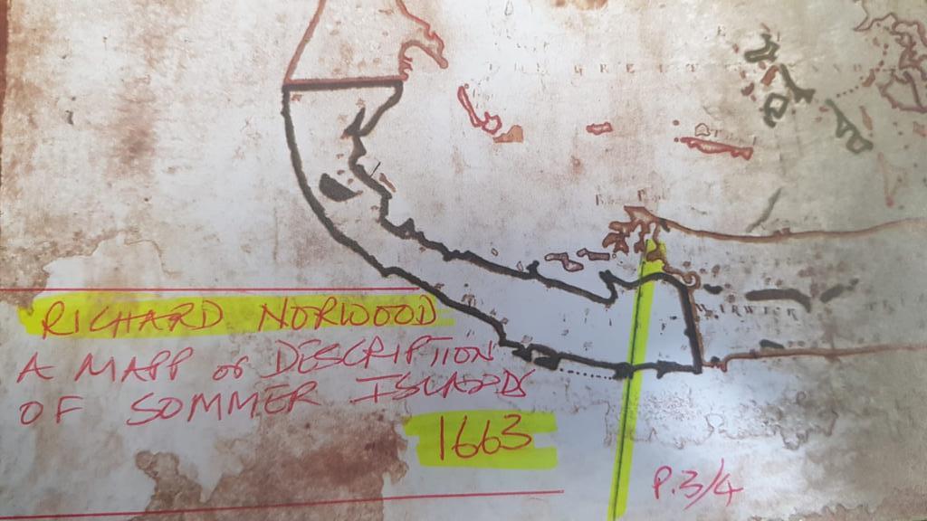
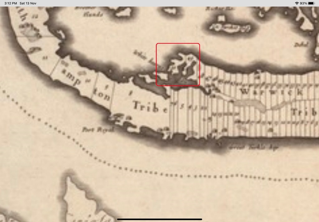
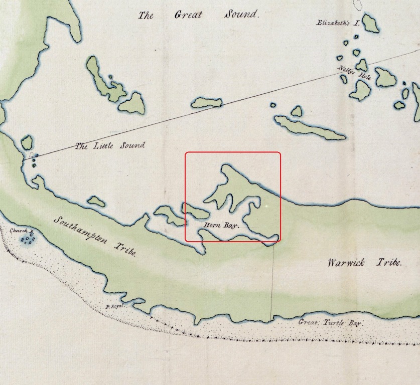
Interestingly, it seems unlikely that the two inlets were near Windsong. That said, it appears that the shape of the Windsong tip of land may have changed and it looks like there may have been a small third inlet behind Windsong (marked in yellow) which may also have been reclaimed as part of the development of Riddell's Bay golf course.